
What is a Smart City?
A smart city uses advanced technologies like the Internet of Things (IoT), Digital Twins, Geographic Information Systems (GIS), and Building Information Modeling (BIM). These tools help build sustainable, connected, and flexible urban spaces. These cities aim to be smart and intelligent. They adapt to the changing needs of their citizens.
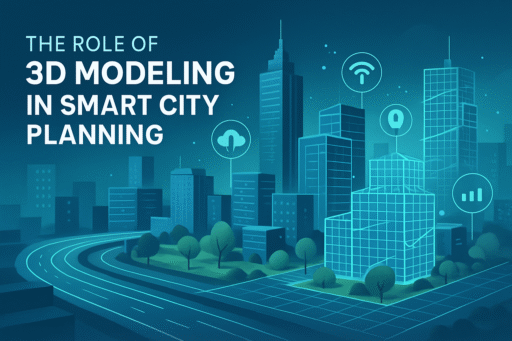
The Role of 3D Modeling in Smart City Planning
1. Enhanced Visualization
Urban Redevelopment & Zoning:
Planners can use 3D modeling to simulate different scenarios. For example, they can explore population growth, zoning changes, or disaster events. This helps mix new changes with cultural heritage by layering past and present city views.
Green Infrastructure Planning:
3D models help design eco-friendly spaces such as green roofs and walkable city centres. They mimic sunlight, airflow, and environmental effects to improve building designs for sustainability.
Disaster Preparedness & Emergency Response:
3D city models combined with real-time hazard data help first responders. They can navigate complex urban areas quickly with simulation tools.
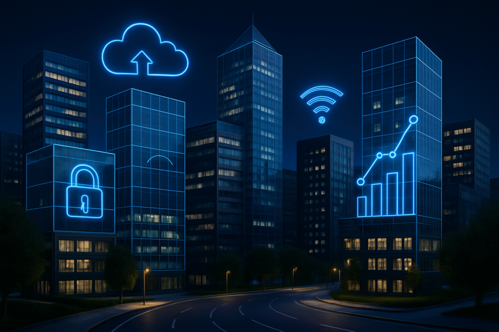
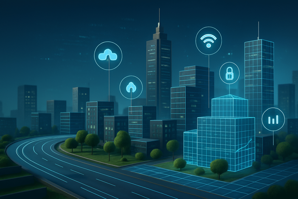
2. Integration with Emerging Technologies
Digital Twins: These are ongoing, updated models of a city. They use IoT devices to monitor utilities, traffic, and pollution. AI and machine learning help predict how the city will behave in the future.
AI & Predictive Analytics:
Using AI to analyze 3D models optimizes energy use in buildings. It also helps predict when maintenance is needed.
Satellite + UAV + LiDAR Fusion:
Combining satellite data with LiDAR and UAV-generated models provides highly accurate elevation data and real-time construction progress updates.
3. Infrastructure Lifecycle Management with BIM + 3D Modeling
BIM Integration: 3D models evolve through design, construction, operation, and demolition. Every object in the model carries data, aiding in asset tracking, cost analysis, and long-term infrastructure management.
4. Environmental Monitoring & Climate Adaptation
Climate-Sensitive Urban Planning:
It models heat island effects, rainwater runoff, and carbon emissions, block by block. This supports cities in creating infrastructure that is resilient to climate change.
Water and Waste Systems:
Maps underground pipelines in 3D for leak detection, flow optimisation, and emergency management.
5. Public Engagement and Policy Making
Citizen Involvement via Visual Tools:
Turns complex data into easy-to-understand visuals. This helps citizens grasp urban development projects and share their thoughts.
Smart Governance:
Provides a visual, data-driven platform for policy decisions, enabling real-time collaboration among stakeholders.
6. Real-World Use Cases
Singapore’s Virtual Singapore Project:
A complete digital twin of the entire city-state supports urban planning, security, disaster management, and tourism.
Barcelona & Amsterdam Smart Infrastructure:
Uses 3D modeling and IoT sensors to track building performance, traffic, and energy use.
7. Challenges and Future Outlook
Challenges:
Includes data privacy and security risks, the high cost of LiDAR and UAV technology, and the need for skilled personnel.
Future Trends:
Augmented Reality (AR) enhances public engagement. Metaverse integration supports city planning. An interoperable urban platform connects transport, energy, waste, and housing models.
Smart Uses of 3D Data in Urban Planning
Visualization:
Designers can make detailed models of real environments. This helps them analyze spatial relationships and see how new structures might impact the area.
CAD Enhancement:
3D models work with Computer-Aided Design (CAD) tools. They give architects and engineers accurate data. This helps them create plans that look good and are strong.
Simulation:
Urban planners can make 3D models. These models show how designs fit in real spaces. They test size, scale, and environmental effects.
Sustainability:
3D models improve green spaces, assess energy use, and analyze public safety. They play a key role in building sustainable cities.
Case Study: The City of Nashville Experiences Rapid Urban Growth
The City of Nashville, TN, experienced rapid urban growth of more than 24,000 people in 2023. Urban development and planning departments faced urgent demands to tackle rising population issues. They adopted data to visualise the impact of this growth. By integrating these models into their GIS workflows, they could:
- Add new buildings to simulate future developments.
- Analyse viewsheds, shadows, and the impact of new structures.
- Communicate changes with the public using interactive, web-based 3D visualisations.
The result was better urban planning. It was more accurate and focused on impact. Community engagement improved, and public trust grew thanks to transparency and visualisation.
Strengthen Your Planning with High-Quality 3D Data.
Creating your 3D models begins with good data. This is key for managing cities effectively and sustainably. Using 3D modeling in urban development helps with planning. It also encourages a proactive way to handle the challenges of expanding cities. Using high-quality 3D models, urban planners can gain insights, improve resource use, and create cities that work well and withstand future challenges.
Conclusion
3D modeling is more than a visualisation. It serves as a key digital foundation for smart cities. 3D models are changing how we plan, build, and manage cities. They form the base for real-time, data-driven decisions. By embracing these tools, cities can:
- Reduce costs and increase efficiency.
- Build resilient infrastructure against climate change and urban stress.
- Create a transparent, inclusive, and sustainable future.
If you would like to learn more about contact us and see a demo for yourself.